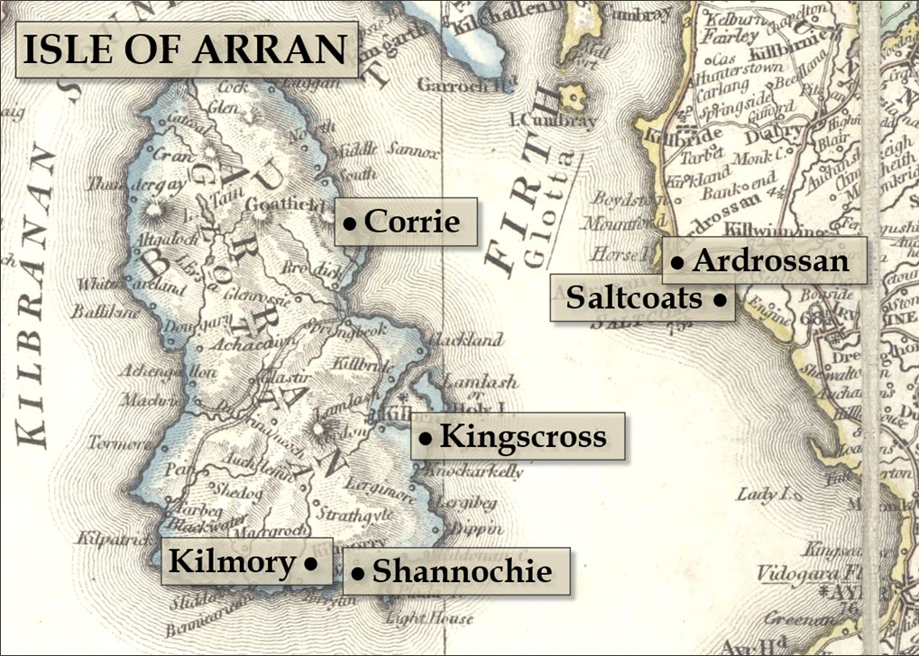
This 1824 map of Scotland found at the National Library of Scotland will serve as the basis for the project’s family-specific maps used in the report and, possibly, the wall chart as well. The map will be cropped and modified in MS PowerPoint, adding semi-transparent labels to note the towns relevant to the history of the families we’re researching.